
Middle Fork New River Restoration Prioritization Plan Complete
As the Middle Fork Greenway is developed, it will follow the meandering path of the river and provides an excellent opportunity to protect and restore this important water resource in the High Country. A comprehensive River Restoration Prioritization Plan was developed by Jennings Environmental and the Greenway Team in 2018 to guide these activities and contribute to the overall health of the corridor as the trail is developed.
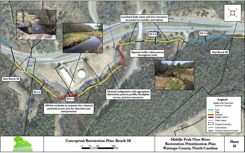
This restoration plan describes existing conditions for each of the six river reaches extending from Blowing Rock to Boone shown on the map below. Assessments of stream channel morphology, erosion potential, and riparian vegetation were used to classify river segments based on color-coded level of concern as Low, High, or Extreme. For each segment, specific river restoration opportunities were identified to improve water quality, aquatic habitat, floodplain function, streamside vegetation, and environmental educational opportunities for greenway users.
Blue Ridge Conservancy will partner with New River Conservancy and Blue Ridge RC&D to write grants to implement the stream protection and restoration needed on the Middle Fork New River. The Plan was funded by the North Carolina Division of Water Resources.

River segments classified as Low level of concern are colored blue on the map and have mostly stable, well-vegetated streambanks and floodplains. These river segments should be protected and observed for signs of bank erosion and invasive plants. Short segments of eroding streambanks should be addressed using minor bank grading and planting as needed.
River segments classified as High level of concern are colored yellow on the map and have many areas with substantial bank erosion, poor in-stream habitat, and poor riparian vegetation. Recommended restoration plans for these river segments include streambank grading, in-stream log and rock structures for protecting banks and enhancing habitat, and native riparian vegetation planting.
River segments classified as Extreme level of concern are colored red on the map. These areas are the highest priority for restoration due to severe problems with bank erosion, in-stream habitat, floodplain functions, and riparian vegetation. Recommended restoration plans for these river segments include channel realignment and floodplain connection, streambank grading, in-stream log and rock structures for protecting banks and enhancing habitat, and native riparian vegetation planting.
An example Conceptual Restoration Plan is shown for the middle section of Reach 1 in the map below. These extensive restoration projects require substantial planning, engineering, permitting, and construction work followed by long-term vegetation management in order to achieve ecological objectives.
Middle Fork Greenway Economic Impact Study Completed
Our funding partners made it happen; The Blowing Rock Village Foundation, Watauga Economic Development Committee, and Chetola Resort, Ted & Marty Couch, Bob & Susan Hambright, and John & Lucy Aldridge. Researchers from North Carolina State University, Institute for Transportation, Research and Education (ITRE) found that an investment in the Middle Fork Greenway could result in:
38,000 annual trips on the greenway
$10 million in health benefits (value of extended life over 10 years)
9.5% increase in the value of properties within a half mile of the greenway
$296,000 increase in local property tax revenue per year
$947,000 annually in business activity benefits
12 new jobs that support $276,300 in labor income
12,000 annual tourist trips on the greenway – estimated to generate $6 million in the local economy
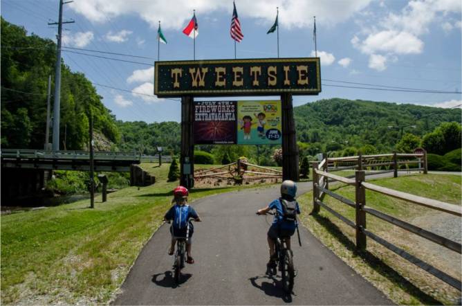
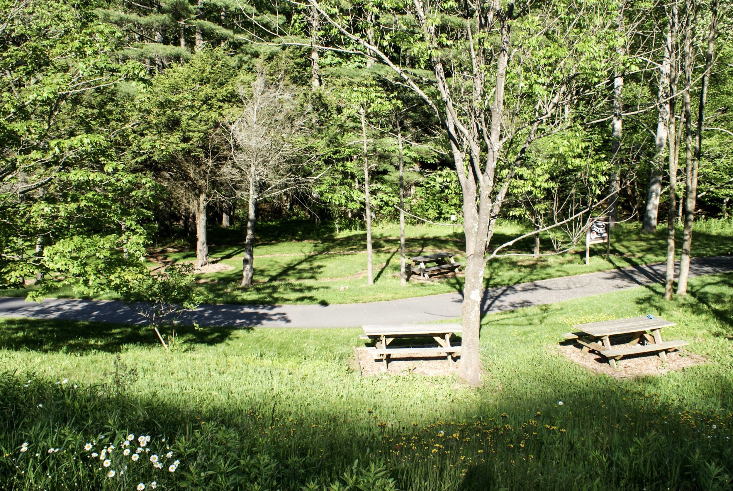
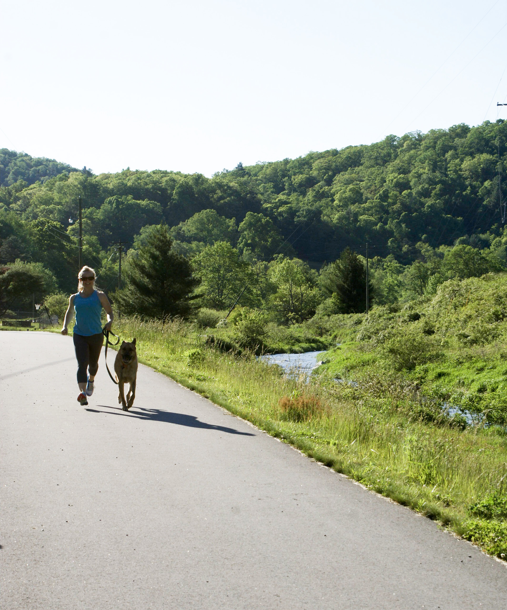
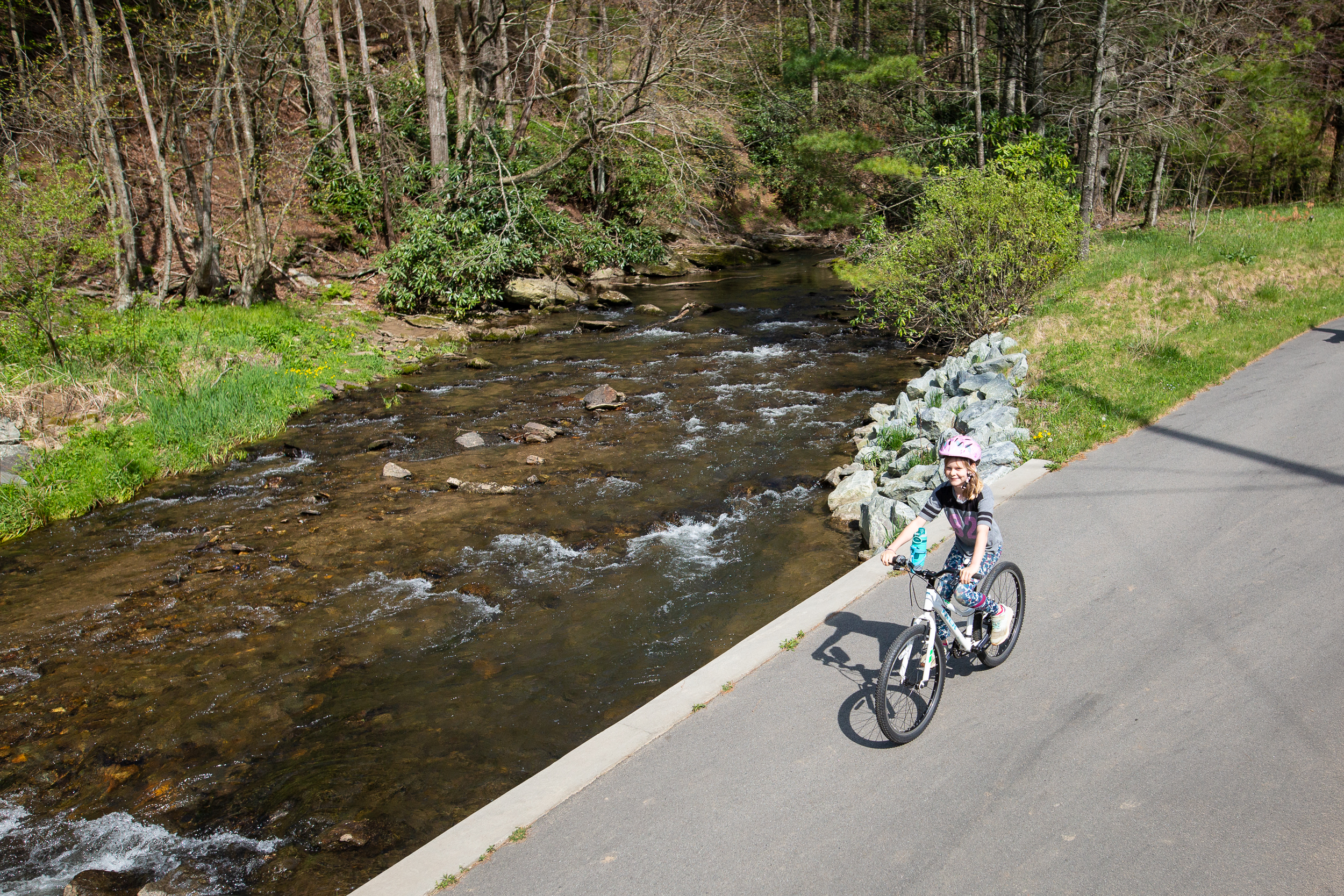
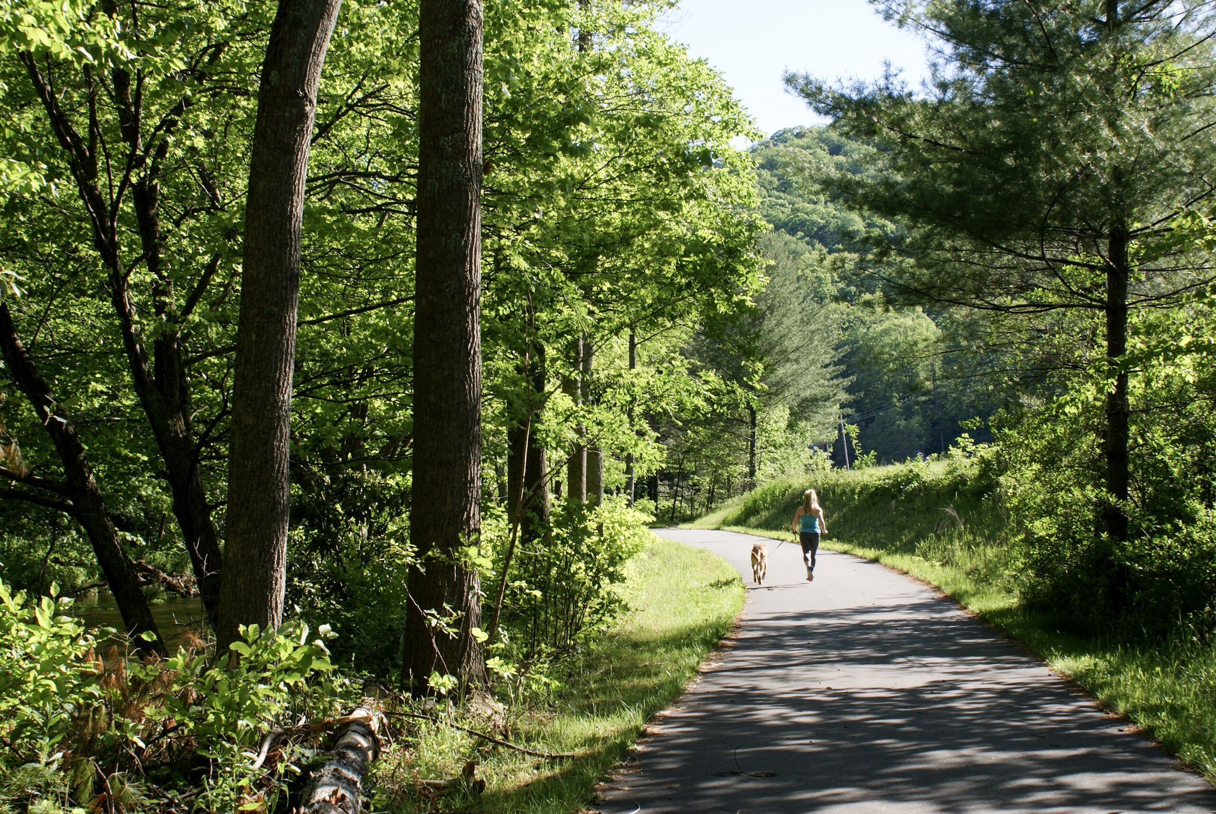
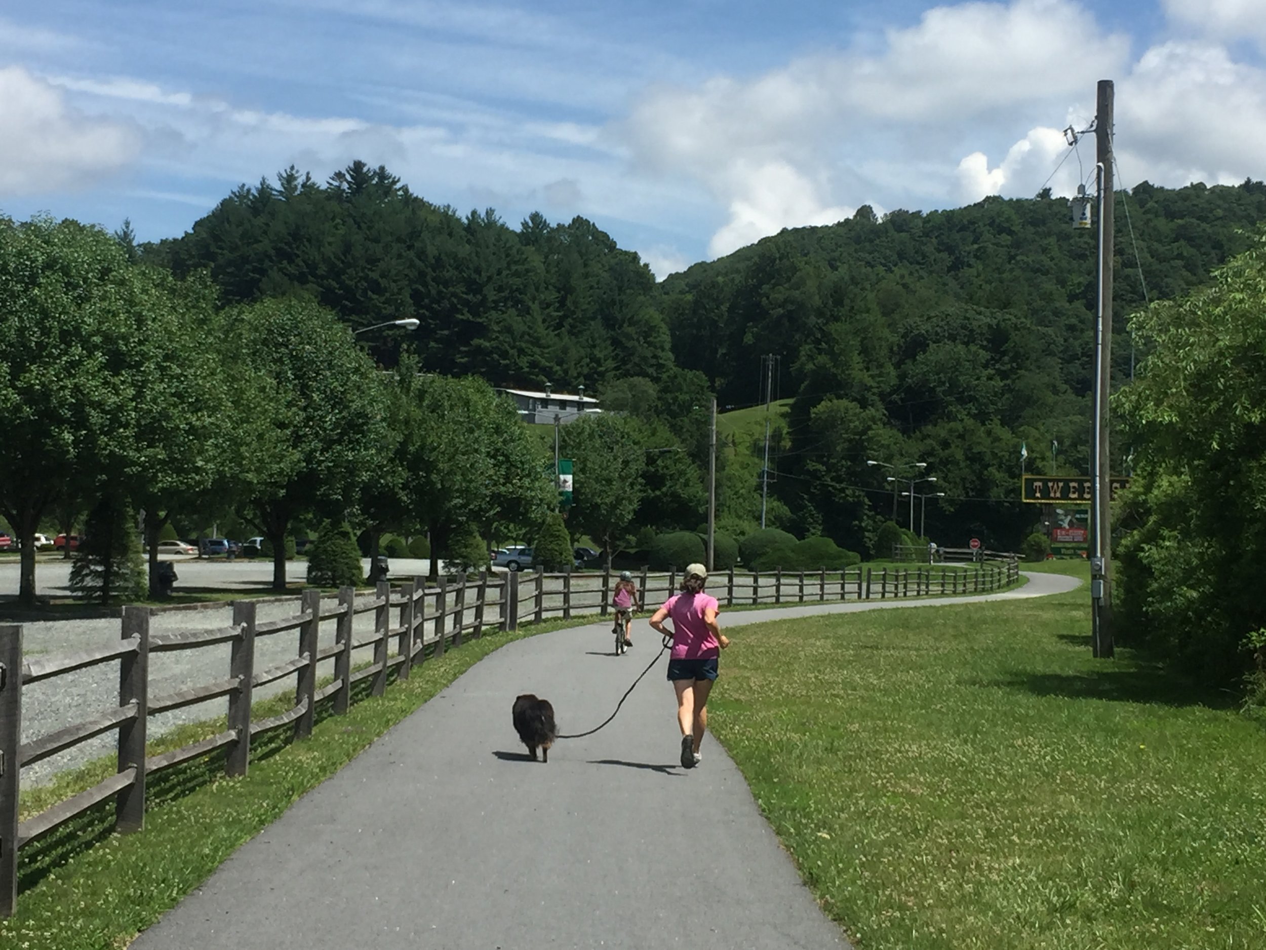
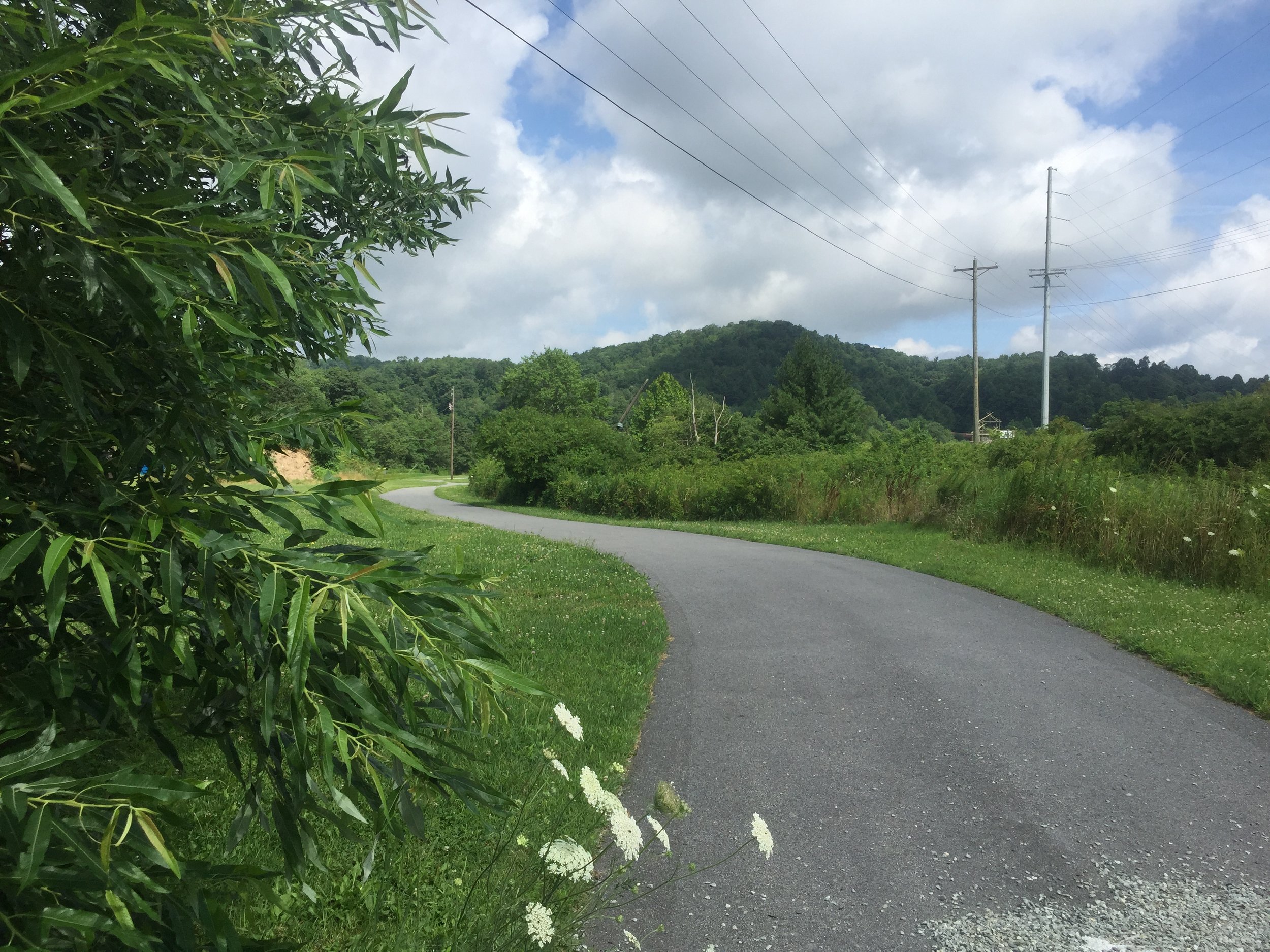
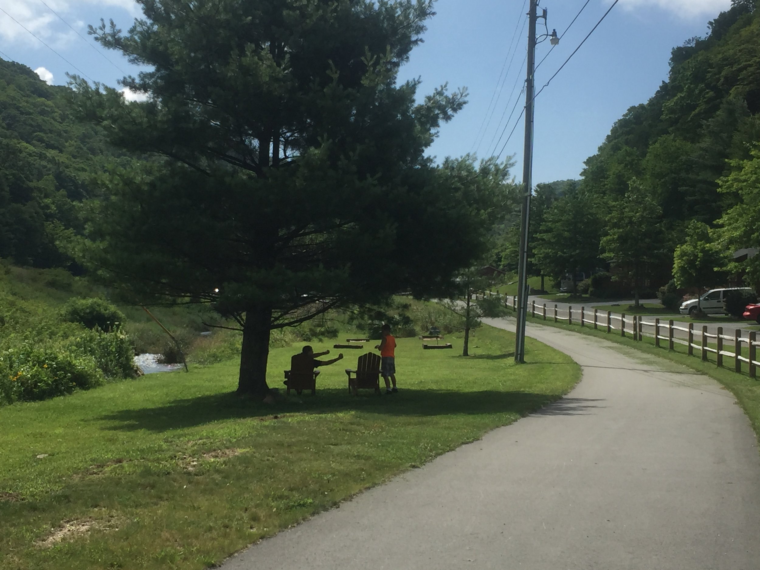
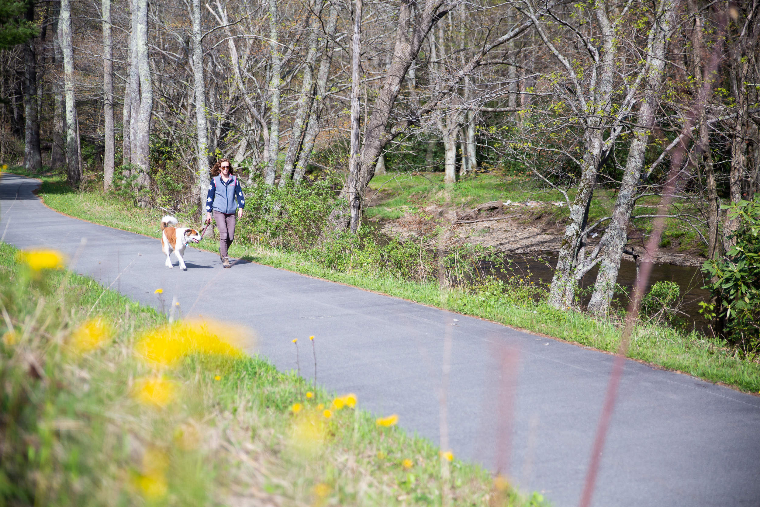
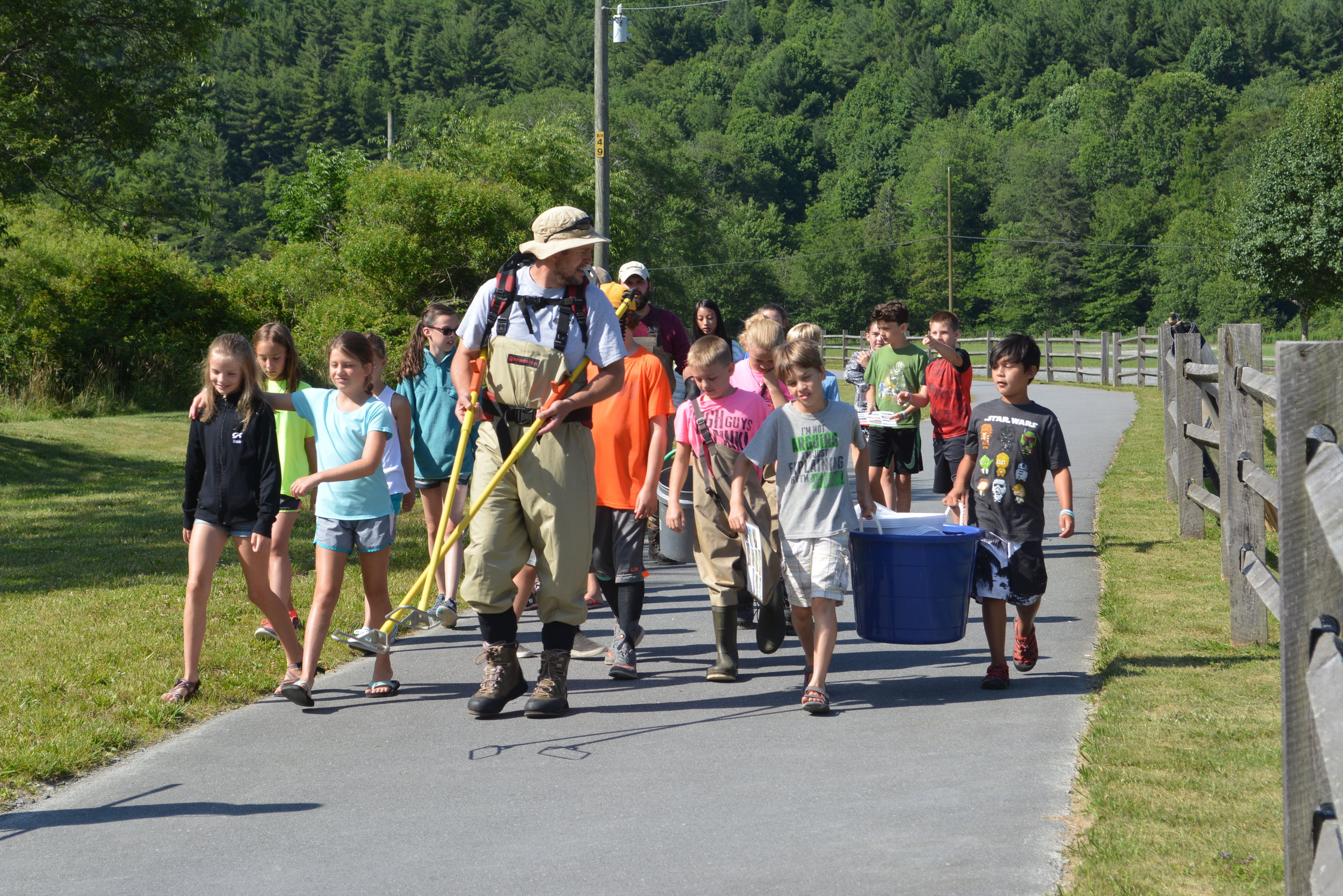
Below: Slide show of the two-miles of Middle Fork Greenway between Tweetsie Railroad and Sterling Creek Park